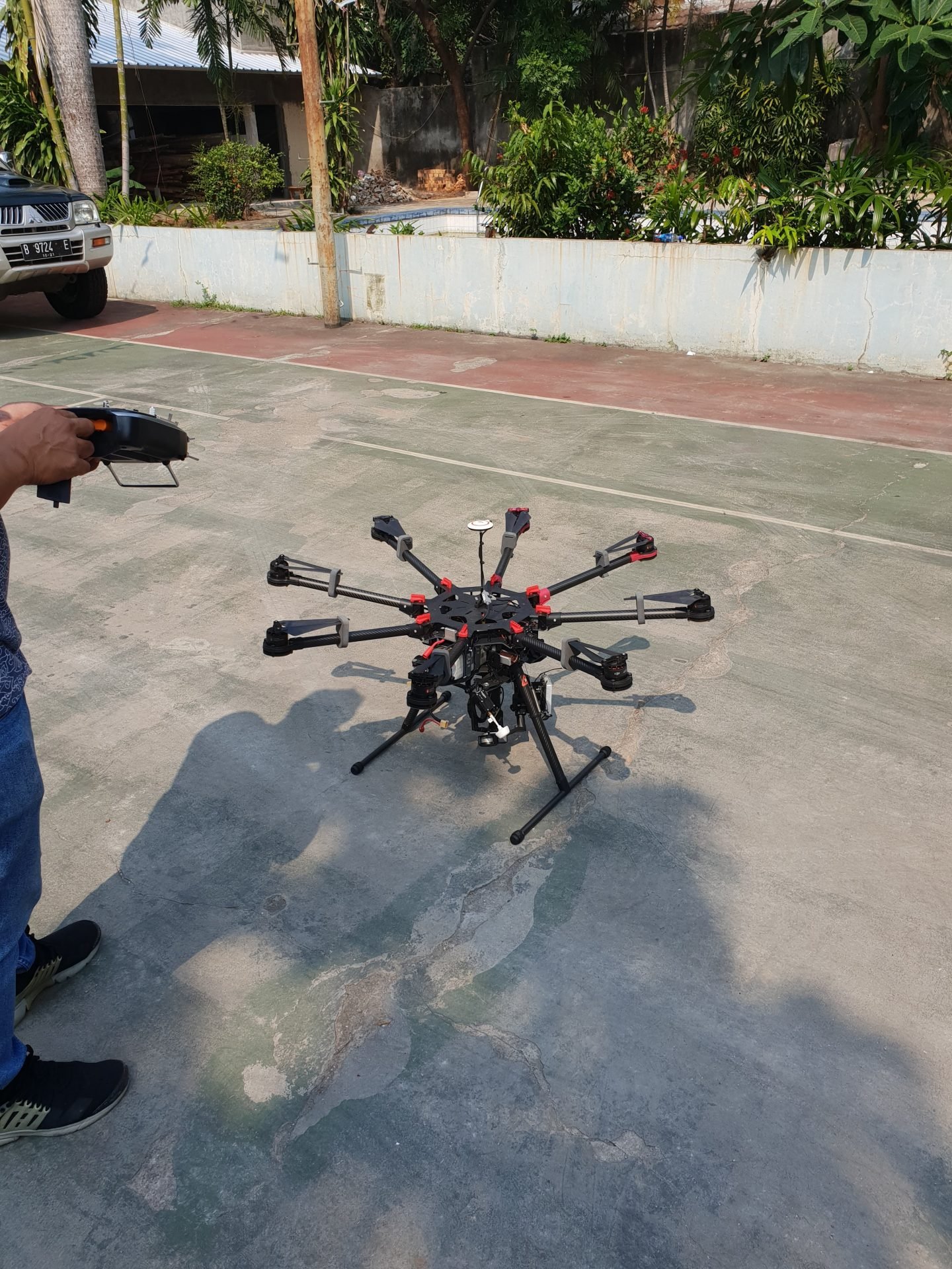
PTMI utilizes the capabilities of drones for specialized projects. Due to the limitations of size and flying time, drones are most efficient for small scale mapping and monitoring. With PTMI’s range of expertise, this technology adds to our toolbox for projects. Our services extend to aerial photography, as well as complex combinations that include LiDAR and aerial photos.
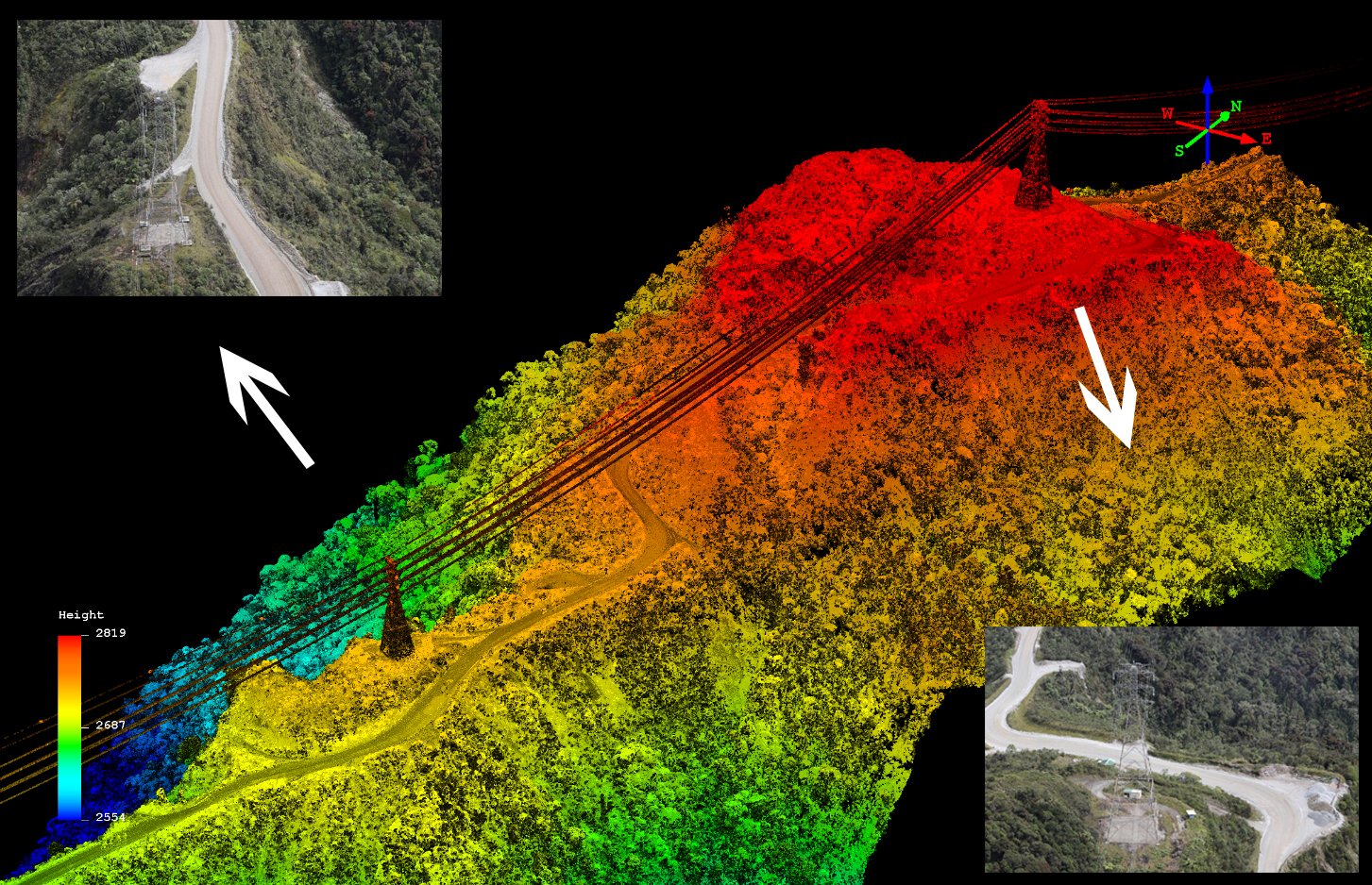
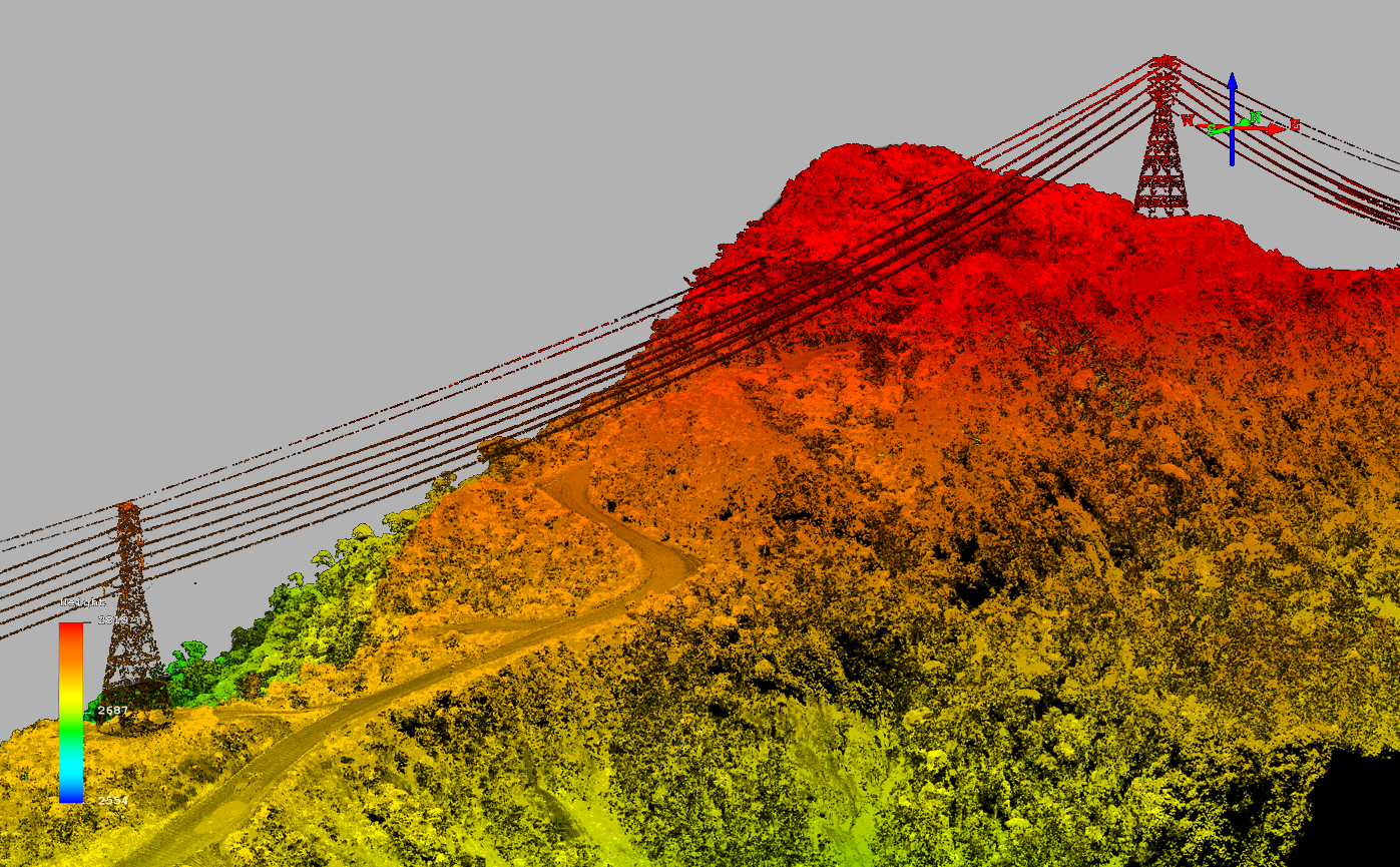
PTMI’s laser sensor is capable of acquiring power transmission and distribution network details with exceptional precision. Our LiDAR captures oblique views, ensuring that towers and lines are collected at the resolution necessary for power engineers to make informed decisions. Our system has four distinct “looks” per pass, which enables single-pass data acquisition with the level of detail that would otherwise require two or more passes using other sensors. Along with nadir and/or oblique imagery, our comprehensive solution quickly delivers information to the end-user. Regardless of whether it involves identifying vegetation encroachment or asset management, our sensor provides an unprecedented view of your network.
Looking for high accuracy, electrical distribution data? Contact us!
For those special exploration projects, PTMI has the tools and expertise for you. PTMI can mobilize the tools you require for exploration.
PTMI uses the best Geomagnetic and Radiometric systems utilizing a world-class post processing team to ensure you get the critical data for your project. Gravity survey requirement? No problem….we can help plan and execute that as well.
Exploration requirement utilizing specialized equipment? We have you covered.
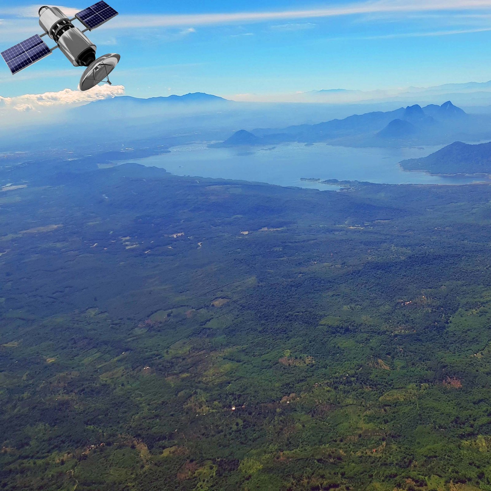
Satellite imagery is a crucial component of any wide area project, providing cost-effective initial data to jumpstart the process. Our team of dedicated professionals at PTMI are here to assist you with acquiring, interpreting, and organizing this vital information so your team can efficiently utilize it downstream.
GIS systems are the key to managing any geographic project data. PTMI’s trained GIS professionals can help populate or even develop a system to monitor your project.
Using any of the main GIS software suites, our data is perfect for integrating into your GIS system. Whether you are layering, calculating or monitoring, contact PTMI to enhance your GIS.
GIS is critical for data management. Let us help you today!