PTMI utilizes the newest camera technology for our aerial photo capture. The technology allows for us to capture the best quality images for your project. Whether mounted on our airplane, helicopter or a drone, we can capture the imagery that you request.
PTMI collects different aerial image aspects as well. Whether you require crisp RGB imagery, high resolution oblique 3D imagery or NIR/CIR imagery, we have the capture for your project.
High Resolution imagery is critical for all projects
Our aerial image capture and post processing techniques allow us to deliver high-quality orthophoto products. The Orthophoto is a tiled and flattened image that will allow you to overlay other products such as contours or DTM/DSM data to help you visualize exactly where you are planning.
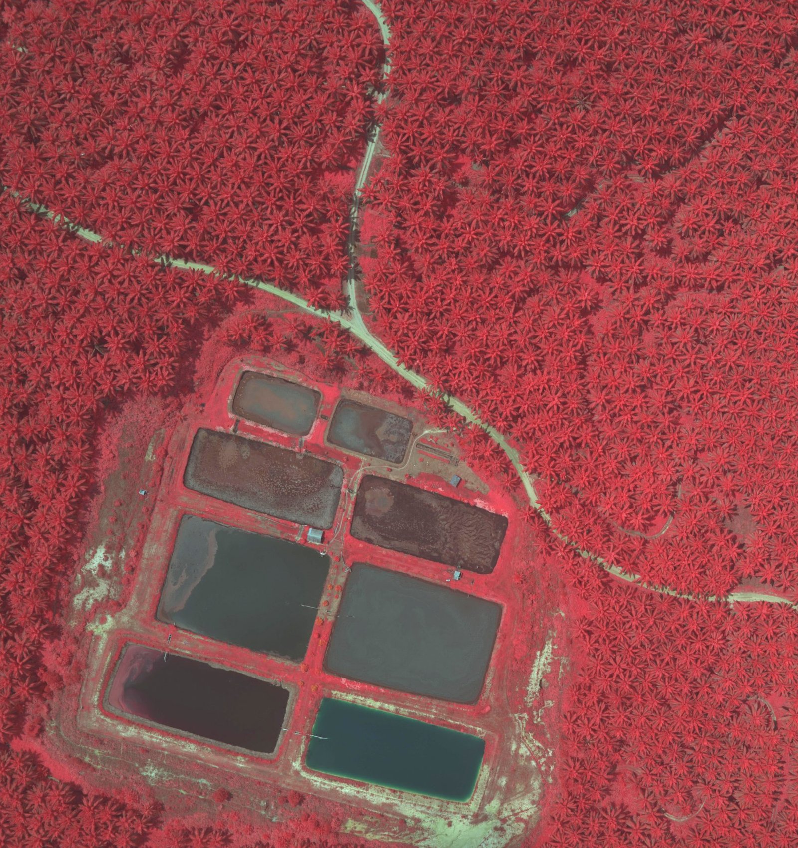
Near Infrared/False Color Infrared (NIR/CIR) imagery is a standard capture with our aerial camera. It will simultaneously capture 4 bands so that if you require the additional information for your project, we will have it at no extra acquisition cost. CIR imagery is particularly useful for vegetation analysis and assessment.
Additional Infrared imagery can be mission critical